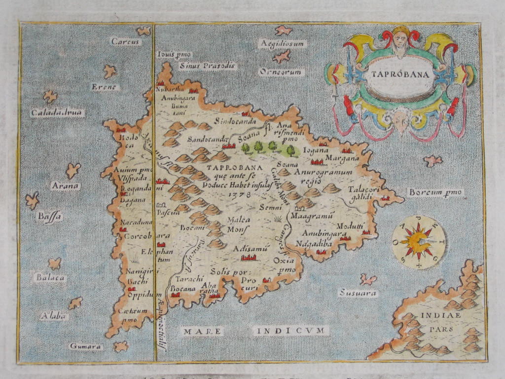

From the "L'Isole Piv Famose Del Mondo," by Porcacchi; a 1572 map from 1620 edition; *title page*
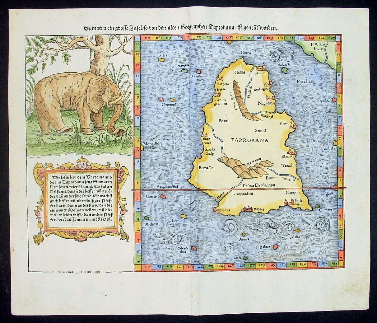
A map by *MUNSTER*, c.1588
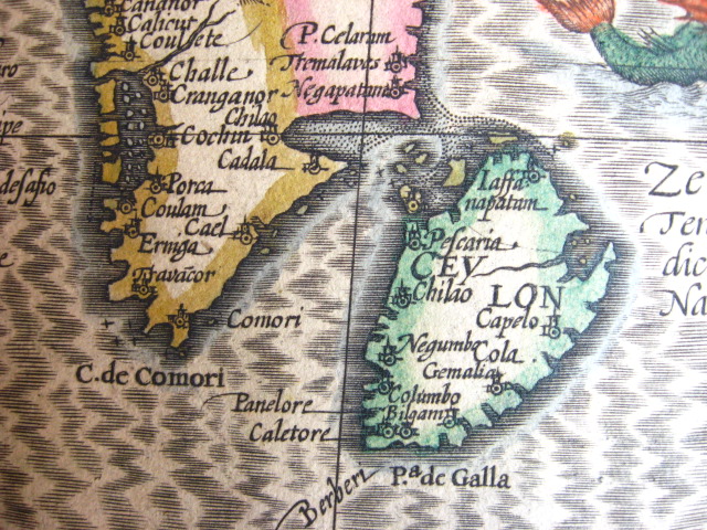
From the 1628 Hondius and Jansson edition of the Mercator atlas
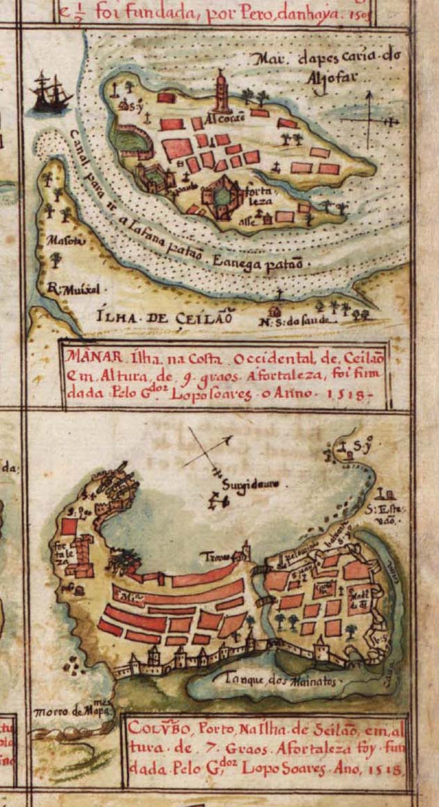
Manar and Columbo, from a Portuguese atlas, 1630
Source: ebay, Mar. 2007
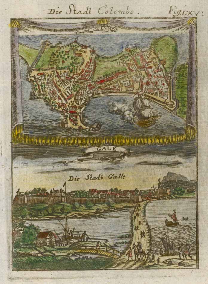
Views of Colombo and Pointe de Galle, 1700, in a German version of Mallet
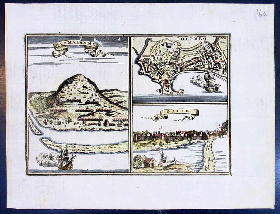
Three towns in Ceylon: Gammalamme, Colombo, and Pointe de Galle, in a Dutch account from 1702
"This 3-city view of Sri Lanka - Gammalamme; Colombo & Galle
-- was published in the 1702 French edition of Recueil des
voyages.... translated from the Dutch 1645 edition of Begin
ende voortgangh van de vereenighde Nederlantsche Geoctroyeerde
Oost-Indische Compagnie, the original collection of travel
accounts concerning the Dutch East India Company. The Dutch
edition was translated and edited into French by Rene Auguste
Constantin de Renneville. (Ref: Tooley; M&B)."
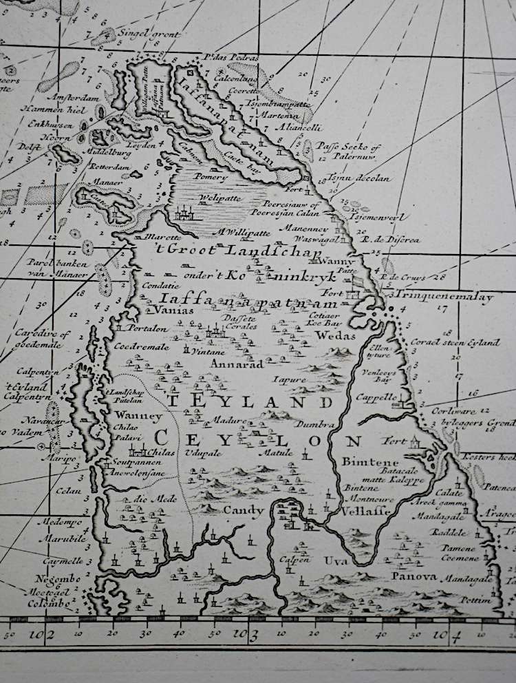
From "Nova tabula terrarum Cucan, Canara, Malabaria, Madura & Coramandelia, cum parte septroniali insulae Ceylon, in Mari Indico Orientali" by Gerard van Keulen, Amsterdam, c.1704
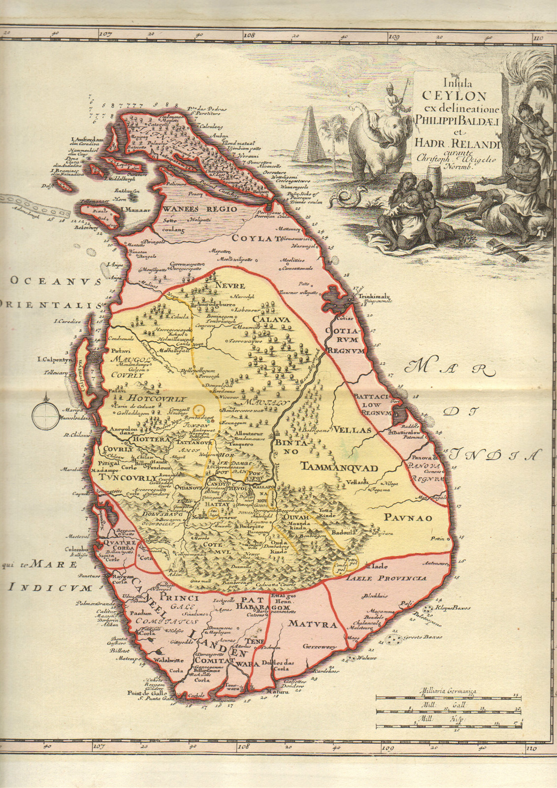

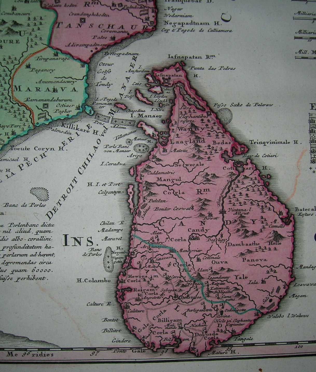
From "Peninsula Indiae citra Gangem, hoc est Orae Celeberrimae Malabar & Coromandel. Cum Adjacente Insula non Minus Celebratissima Ceylon," by Homann Heirs, 1733
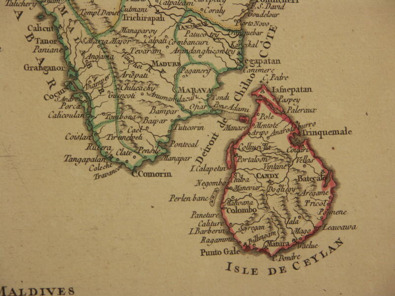
From a map by de Vaugondy, 1751

From a map of South and Southeast Asia by Frederico de Wit, Amsterdam, c.1790
*From Colton's General Atlas, , by J. H. Colton and Co., New York, 1857*
FOR MORE MAPS of Ceylon, see also the **MAPS OF SOUTH INDIA** set
*MAPS c.1500-1750* -- *MAPS c.1750-1900* -- *MAPS*