*MAP*
-- Top margin D, right margin b; it's at the center of the triangle formed
by Banaganapalli, Anantapur, and Cuddapah

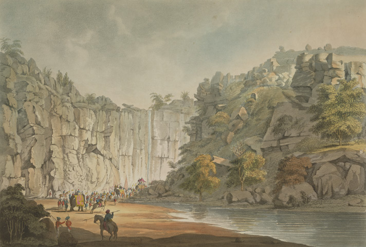
*View
within the Southern Entrance of Gundecotta Pass, by Sir Thomas Anburey,
1799* (BL);
also: *Northern
Entrance of Gundecotta Pass*

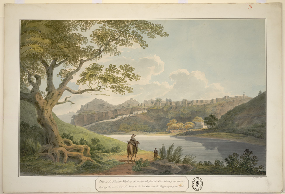
*View
of the W. side of Gandikotta Fort from the W. bank of the Pennar river,
with a key attached, a watercolor by Thomas Fraser, c.1802* (BL)

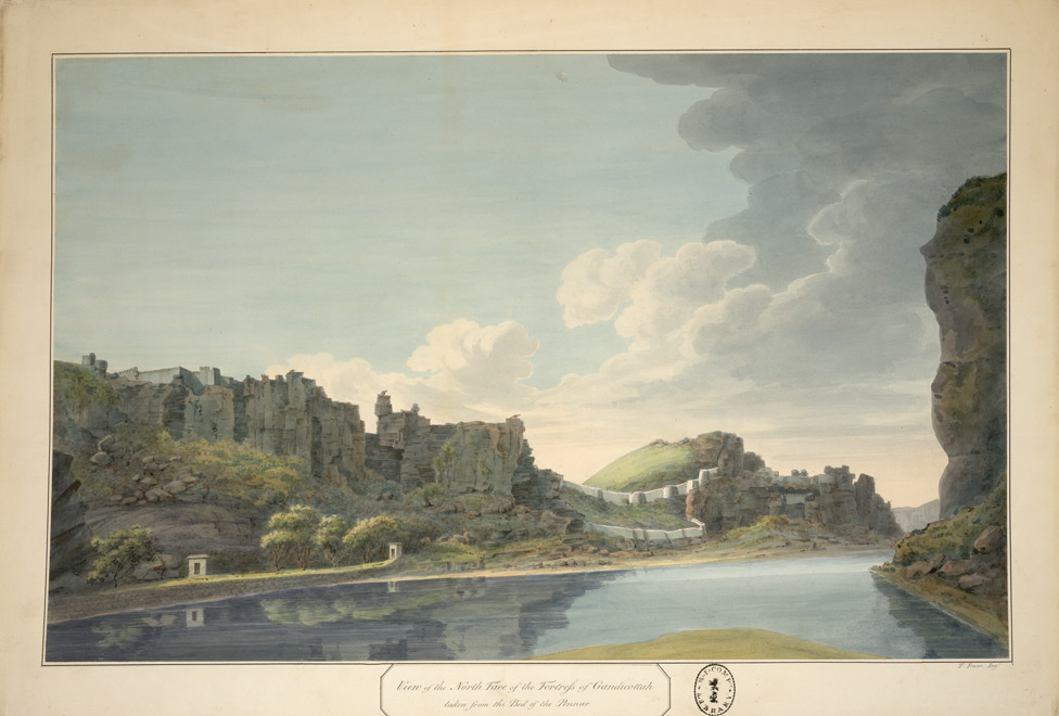
*View
of the N. face of the Fortress, Gandikotta taken from the bed of the Pennar
River, with a key attached, a watercolor by Thomas Fraser, c.1802*
(BL)

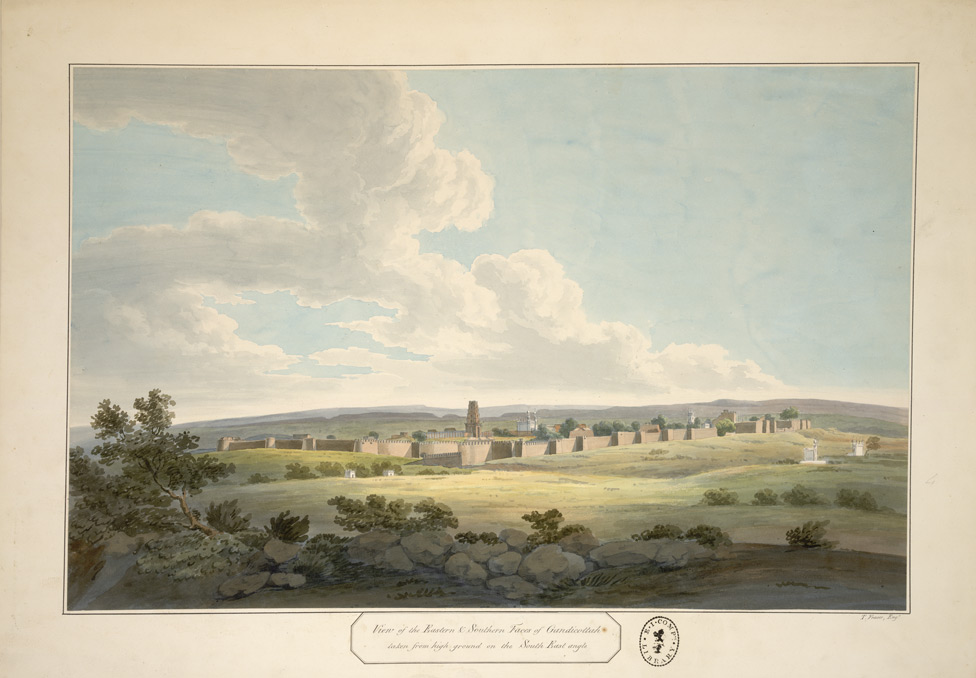
*View
of the E. and S. faces of Gandikotta, with a key attached, a watercolor
by Thomas Fraser, c.1802* (BL)
== Glossary index
== map index == Indian
Routes == fwp's main page
==


