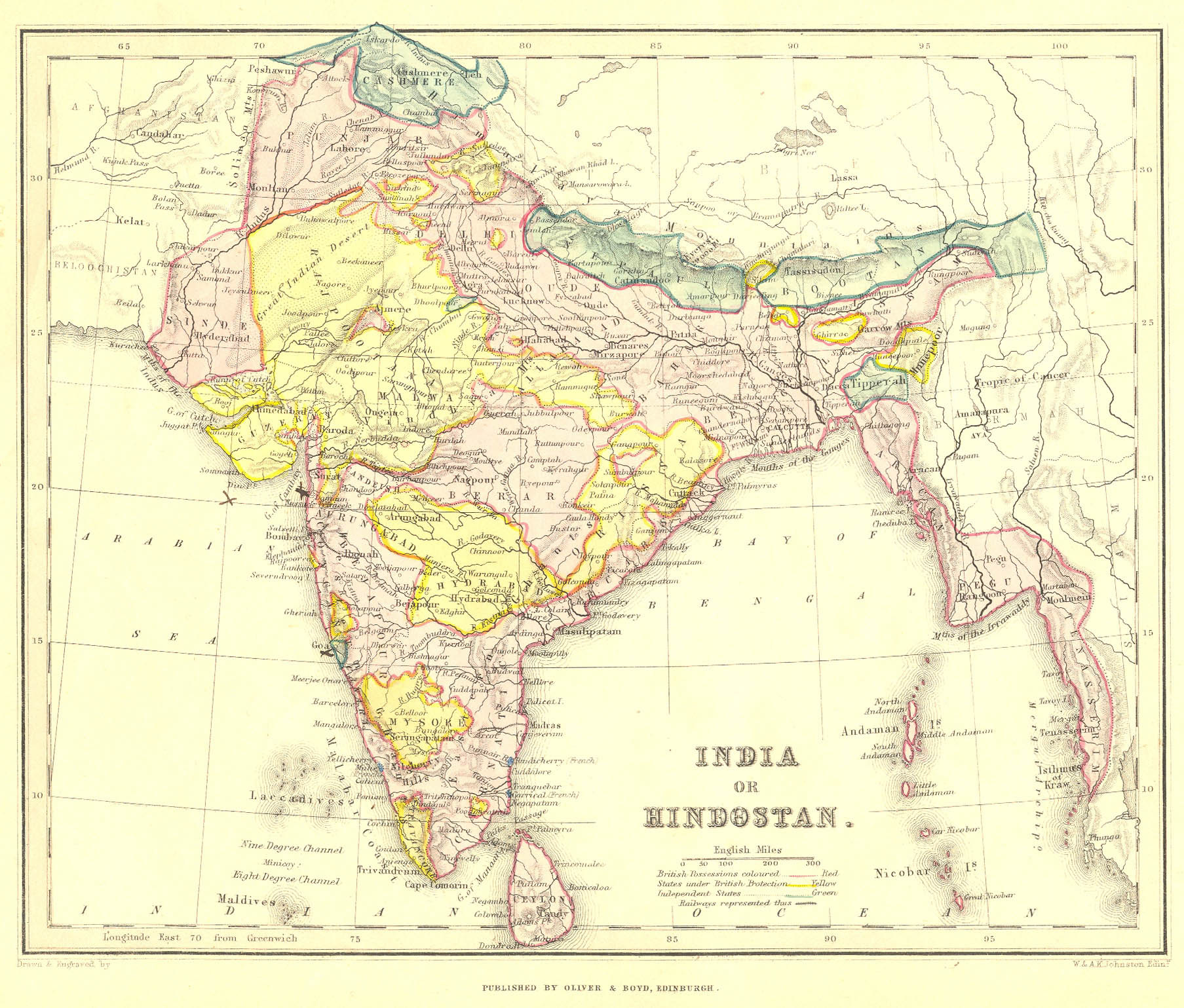
"India or Hindostan," by W. and A. K. Johnston, c.1870, showing political boundaries; from a school atlas by Oliver and Boyd, Edinburgh; CLICK ON THE MAP FOR A VERY LARGE SCAN
Some previous owner of the map has marked Goa, Daman, and Diew with large X's.
== Johnston index == Colonial index == Main map index == Glossary == FWP's main page ==