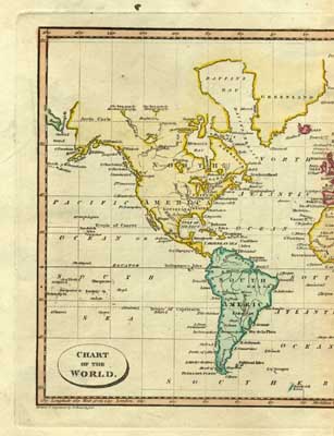
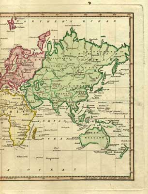
WORLD ATLAS MAPS, 1814
WORLD ATLAS MAPS, 1814
"Hindostan," from *Ostell's New General Atlas* (London: Cradock and Joy, 1814); with modern hand coloring; CLICK ON THE IMAGE FOR A LARGE SCAN
More maps from the same atlas, also with modern hand coloring:
 |
 |
== Colonial index == Main map index == Glossary == FWP's main page