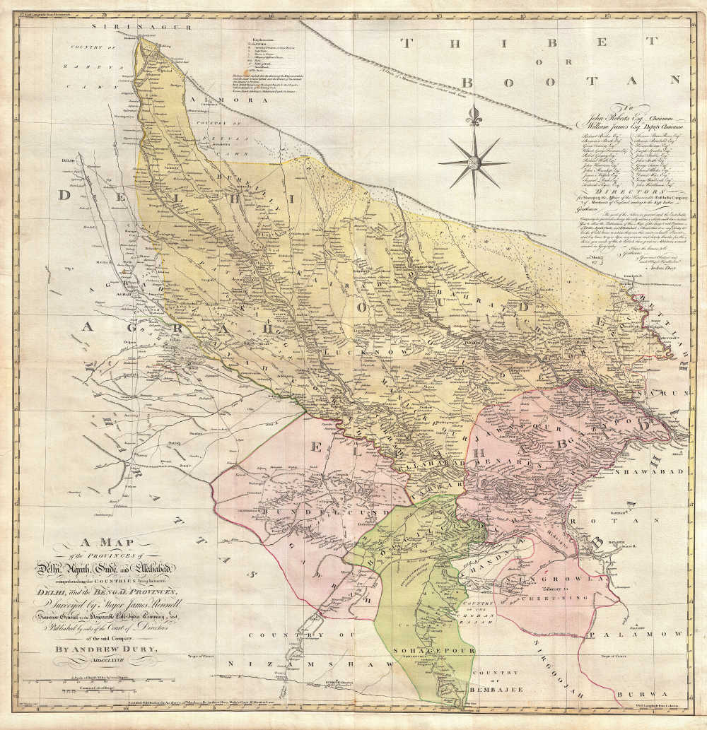
"A Map of the Provinces of Delhi,
Agrah, Oude, and Ellahabad, comprehending the Countries lying between
Delhi, and the Bengal-Provinces, Surveyed by Major James Rennell,
Surveyor General to the Honorable East-India Company, and Published by
order of the Court of Directors of the said Company." By Andrew Dury,
London, 1794. CLICK ON THE MAP FOR A VERY VERY LARGE
SCAN.
Note: This map is HUGE! The scan has
been generously provided by *Geographicus Rare
and Antique Maps*.
An uncolored version of the same map,
from 1794; on this map you can see the two sheets of which it's
composed. CLICK ON EITHER HALF OF THE MAP FOR A VERY VERY LARGE
SCAN.
The size of each sheet is 110.1 x 53.8 cm (3.61 x
1.77 ft). An even HUGER scan is
available
through the *Columbia
University
Map Library*
