MALABAR COAST, 1740
MALABAR COAST, 1740
The Malabar Coast, as seen by Jacques Nicolas Bellin, 1740; CLICK ON THE MAP FOR A VERY LARGE SCAN

Bellin's navigational map of the Gulf of Cambay, a copperplate engraving from 1761, with modern hand coloring

Bellin's specialized coast view, 1764

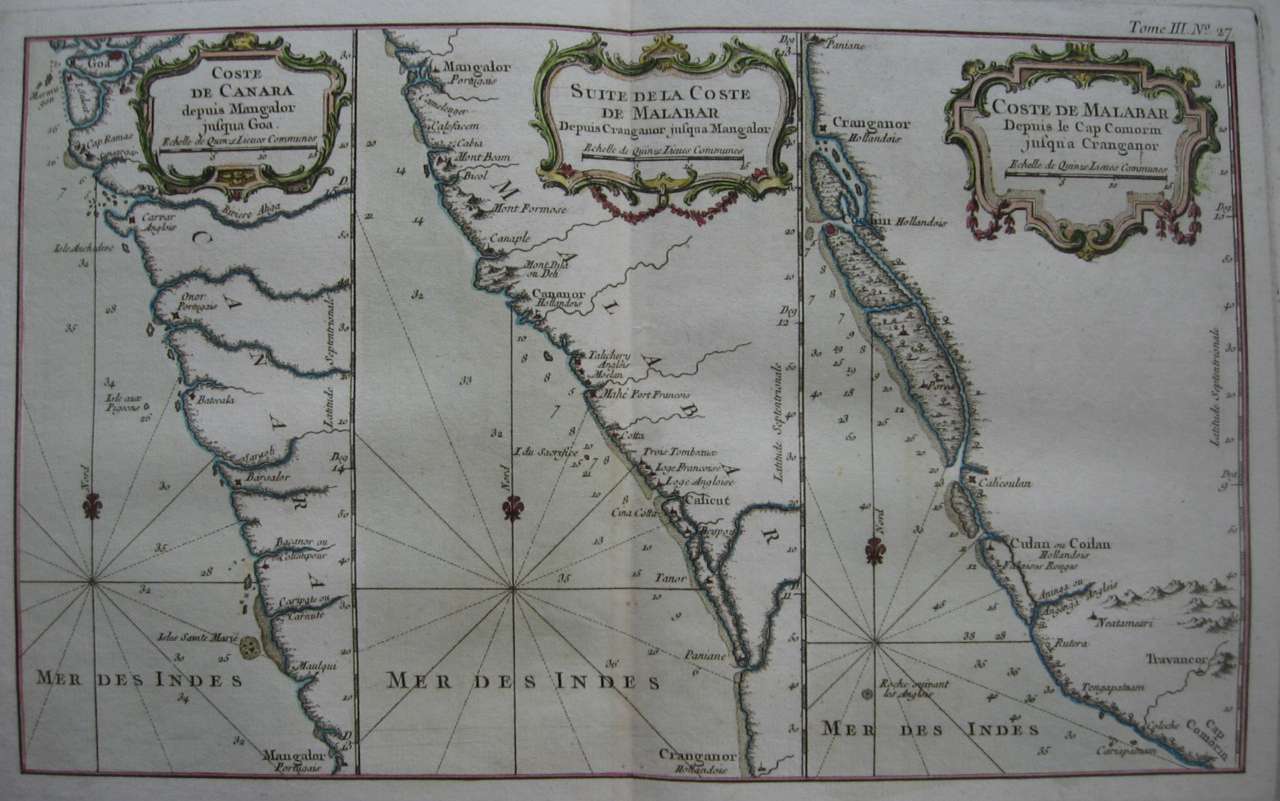
Bellin's navigator's map of the Malabar Coast from Cape Comorin up to Goa, from the Petit Atlas Maritime, vol. 3, Paris, 1764, with very large scans of the: *left panel*; *central panel*; *right panel*

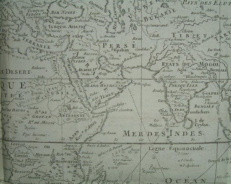
A map of South Asia, Arabia, and northeast Africa; from a world map by Bellin, 1774
== Bellin index == Mughal index == Main map index == Glossary == FWP's main page ==