INDIA, 1750-57

INDIA, 1750-57

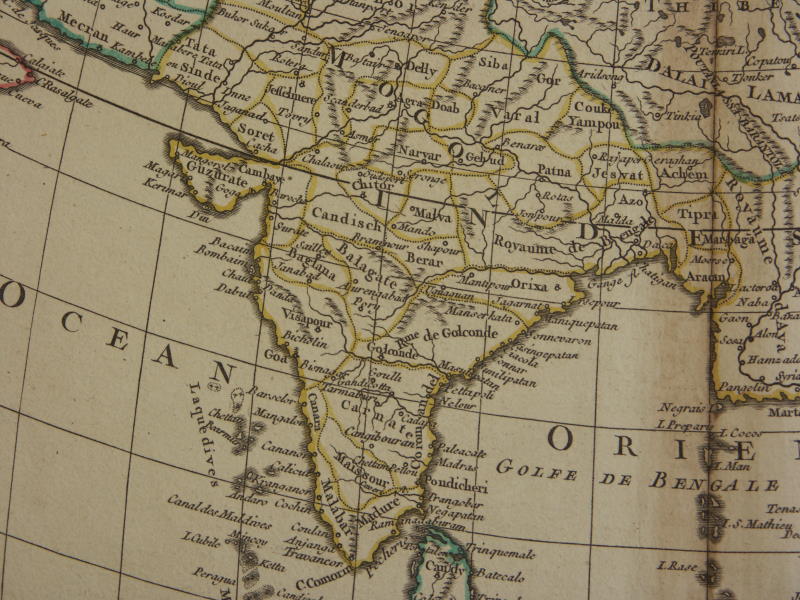
From a map of Asia by Gilles and Didier Robert de Vaugondy, 1750; *the cartouche*
From a 1751 version: *South Asia*; *the whole map* -- *the cartouche* -- *Southeast Asia* -- *East Asia*
"Carte de l'Asie ... Par le Sr. Robert de Vaugondy, fils de Mr. Robert, Géogr. ordin. du Roy, Avec Privilege, 1751", an original, antique, copper-engraved map of the Asian continent. Printed area size: approx. 20¼ x 18½ inches on a full folio sheet (26½ x 20 inches). This map was published by Gilles Robert de Vaugondy and his son Didier (although the map lists only Didier explicitly as the author). They were among the most prominent French map makers of the second half of the 1700s. The map was included in their major work, the 108-map "Atlas Universel" which first appeared in 1757. Much of the material therein was based on work of Sanson, some of whose material they had acquired and updated. The quality of engraving in the atlas is especially well regarded."

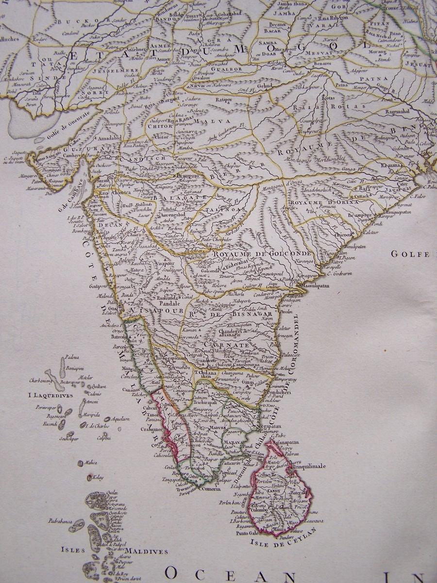
From Gilles (and his son Didier) Robert de Vaugondy's map of South Asia, 1757; *the whole map of South and Southeast Asia*
"This map is from the: "Atlas Universel, Par M. Robert Geographe ordinaire du Roy, et Par M. Robert De Vaugondy son fils Geographe ord. du Roy, et de S. M. Polonoise, Duc de Lorraine et de Bar, et Associe de L'Academie Royale des Sciences et belles Lettres de Nancy...." Map title: Les Indes Orientales, ou sont distingues les empires et royaumes qu'elles contiennent, tirees du Neptune Oriental. Par le S. Robert Geographe ordinaire du Roy. Avec Privilege. 1751. Paris, Les Auteurs et Boudet, 1757."
== de Vaugondy index == Mughal index == Main map index == Glossary == FWP's main page ==