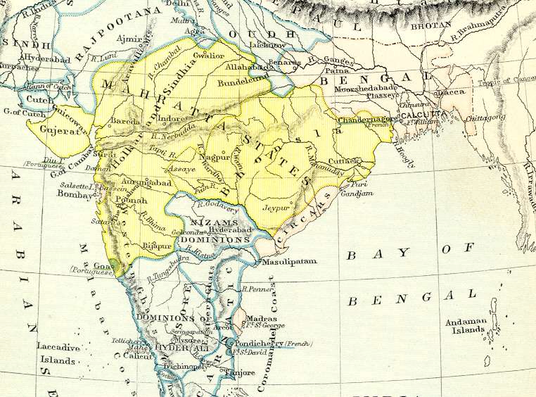

*India in 1760**, a map by Longmans, 1905
*India in 1761**, a historical map by "Majumdar," with the Marathas' territory prominently displayed
*India in 1784**, a contemporary map by Thomas Kitchin

"India in 1785, at the end of Hastings' rule"; a map by Longman Green, London, 1905
*India in 1785**, a historical map by S. R. Gardiner, 1892
*Indian in 1787**, a contemporary map by Rigobert Bonne
*India
in
1795**,
*Indian
in
1805**, more Joppen historical maps (1907)
== Indian Routes index == Indian Routes sitemap == Glossary == FWP's main page ==