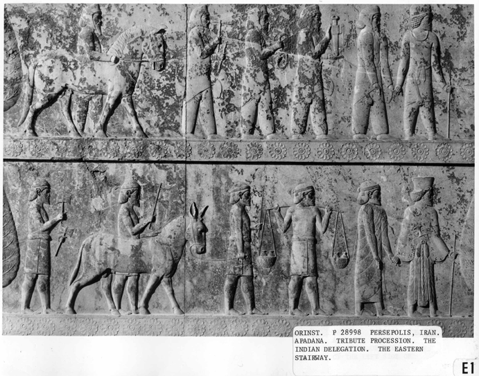

Darius's capital of Persepolis contained in its Apadana depictions of an "Indian delegation" bearing tribute
Source: http://oi.uchicago.edu/gallery/pa_iran_paai_per_apa/index.php/1E1_72dpi.png?action=big&size=original
(downloaded June 2008)

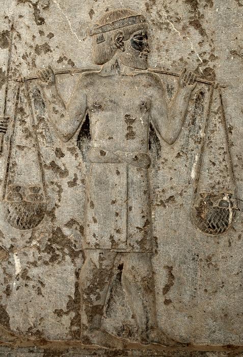
A closer look at one of the Indian tribute-bringers from the Apadana, Persepolis
Source: http://www.livius.org/a/pakistan/taxila/bhir.html
(downloaded Oct. 2006)

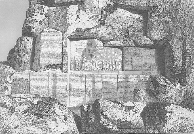
"Rock Inscription at Bisotun, Persia," a steel engraving, 1860
Source: ebay, Aug. 2005
An excerpt from the original description:
"Bisotun (Bisitun) is a village and precipitous rock situated at the foot of the Zagros Mountains in the Kermanshah region of Iran. In ancient times Bisitun was on the old road from Ecbatana, capital of ancient Media, to Babylon, and it was on that scarp that the Achaemenid king Darius I the Great (reigned 522-486 BC) placed his famous trilingual inscription, the decipherment of which provided an important key for the study of the cuneiform script. The inscription and the accompanying bas-relief were carved in a difficult, though not inaccessible, rock face. Written in Babylonian, Old Persian, and Elamite, the inscription records the way in which Darius, after the death of Cambyses II (reigned 529-522 BC), killed the usurper Gaumata, defeated the rebels, and assumed the throne. The organization of the Persian territories into satrapies or provinces is also recorded.The inscriptions were first reached and copied (1835-47) by Henry Rawlinson, an officer in the East India Company working in Persia. Rawlinson published his findings in 1849 and virtually accomplished the task of deciphering the Old Persian cuneiform texts. Largely because of Rawlinson's success with the Old Persian text, the Babylonian and Elamite versions were also soon translated. Later efforts at Bisitun by various archaeological groups have clarified some of Rawlinson's readings, more accurately measured gaps in the text, and helped to determine when the events took place (c. autumn 522-spring 520 BC).
NOTE: the size of this complex of tablets was 100 x 150 feet."
== Indian Routes index == Indian Routes sitemap == Glossary == FWP's main page ==