 |
 |
 |
 |
 |
 |
 |
 |
 |
 |
 |
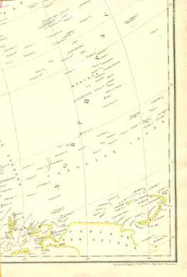 |
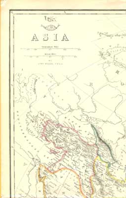
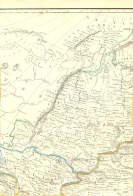
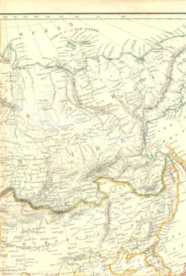
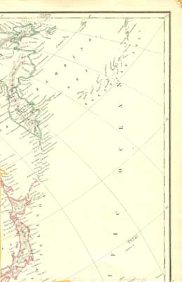
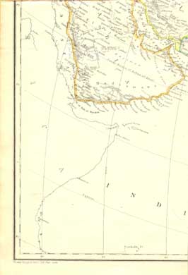
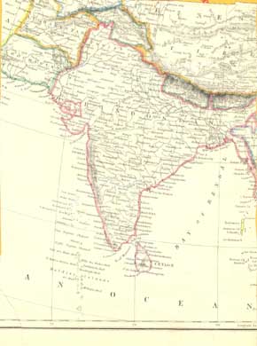
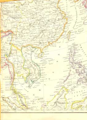
A double-sized map by Edward Weller for the Weekly Dispatch Atlas, c.1860, with original hand coloring; CLICK ON ANY PART OF THE MAP FOR A VERY LARGE SCAN
Source: Bought on ebay and scanned by FWP, Aug. 2006; this frail old map, on thin paper, gave up its life in the scanning process.
== Weller index == Colonial index == Main map index == Glossary == FWP's main page